

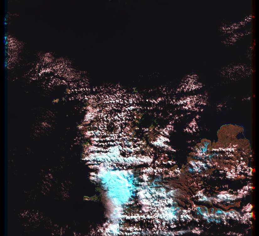
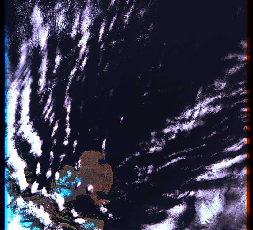
Spatial and scientific images of Kerguelen islands
|
This spatial images come from the very beautiful and
interesting site Earth-Info.
The name of the picture is the date that the satellite take the image (ddmmyy). The order is by the former to the earlier, between 1999 september to 2000 october. To have have the localisation of the edges of the pictures (latitude and longitude), go to Earth-Info website. |
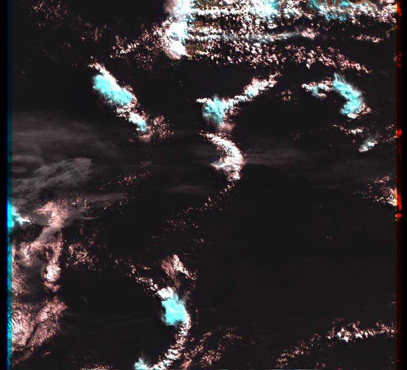    
1999 |
 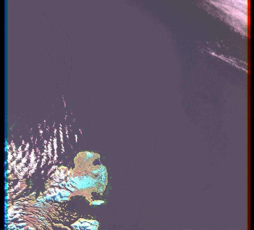 
2000 |
|
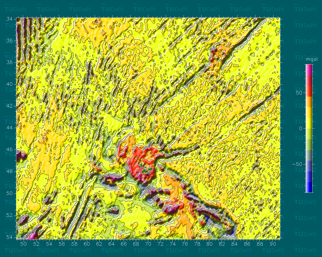
This scientific images come from the dutch site of the Delft Institute for Earth-Oriented Space Research (DEOS). |
 Gravit anomaly map of the Indian ocean (289 K) |
 The mean sea surface for the indian ocean (549 K) |
 The mean sea surface with respect to low-order geoid (590 K) |
|
|
